
By: Collin McKenna, Outdoor Recreation editor
Photos by: Makenna Livingston and Collin McKenna
Looking for a getaway but don’t want to fly? Do you need a break from the rigors of daily life, but can’t fit in a full vacation?
Take a hike instead! Hiking is one way to clear your mind of stress while spending time in the great outdoors, and there are numerous trails in the area for a person to explore.
A number of these trails can be found on or around the Colorado National Monument, which is a national park located near Grand Junction, Colorado.
Founded in 1911, the Colorado National Monument (known locally as ‘The Monument’) is a very popular destination.
Many travel to the Colorado National Monument specifically for the hiking and biking trails and the views that can be seen along these trails. Because these trails are such a popular attraction for those that live in Grand Junction and those that visit from afar, they require lots of work to be maintained.
“We did a lot of work clearing trees up on the monument to make sure that the trails were accessible to the public,” Liam Murphy, a former National Parks Service employee, said. “We also spent a lot of time making sure there weren’t any other hazards along the trails.”
The National Parks Service is successful in this regard, because according to their website, the Colorado National Monument gets hundreds of thousands of visitors every year. In 2017, the park totaled just over 375,000 visitors.
Since it is a national park, it does cost money to enter the Colorado National Monument. There is a $25 entrance fee per car, $20 per motorcycle, and a $15 fee for those entering by bicycle or on foot. There are park-specific yearly passes available for those that plan to visit consistently. Park fees and annual passes are listed on the National Parks Service website.
But without further ado, these are five must-see trails on and around the Colorado National Monument that provide some of the best views of both the Colorado National Monument itself and the valley around it.
1. Devil’s Kitchen
Devil’s Kitchen is located by the eastern (Grand Junction) entrance of the park, and features a short mile-long trail that can be enjoyed by people of all ages. The trail itself is mostly flat, with no real treacherous terrain surrounding it. The viewpoint at the end, which overlooks a small canyon, rests between two rocks and requires some slight scrambling to get to. AllTrails has Devil’s Kitchen listed as moderate difficulty, but for most of this trail the path is easy to walk.
One of the most popular hikes on the Colorado National Monument, Devil’s Kitchen is the first trailhead that can be seen from the eastern entrance of the park. The rocks at the end of the trail form a triangular structure known as Devil’s Kitchen. (Makenna Livingston, April 26).
2. Serpent’s Trail
Serpent’s Trail is also located on the eastern edge of the park, but it is elevated quite a bit more than Devil’s Kitchen is. The trail winds down the side of a cliff, and is a total of between 3-4 miles out-and-back. While parts of this trail are steep, the end of the trail is pretty docile and leads to a view of part of the Grand Valley.
3. Red Canyon
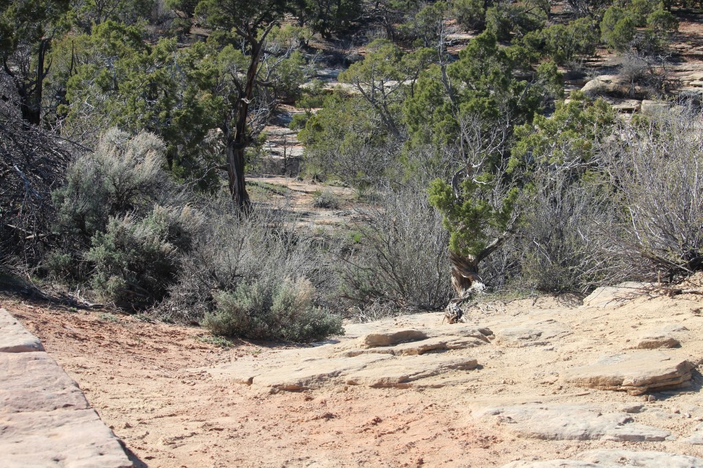
Red Canyon is a little closer to the middle of the road through the Colorado National Monument, and is tricky because there is a very small trail down to a man-made cave that runs under the road.. Once through the cave (which is not a long cave and has room to comfortably stand through almost its entire length), the official trail sort of disappears.
This is ok, because there is a lot of solid rock to walk on along the length of a creek bed that, at the time of this piece being written, is dried up. There are plenty of comfortable ledges to sit on if a short break is needed, and the creek bed runs through a small canyon, so there is not really a lot of dangerous terrain surrounding it. It is an easy hike, and for those looking for a more secluded area to explore, this is the perfect destination.
“Red Canyon is one of my favorite spots on the monument,” Landon Barkat, a current Grand Junction resident, said. “It’s never super busy, because the pulloff functions more as a viewing area rather than a trailhead, but it’s not hard to find your way around.”
For those that might not want to enter the cave, though, the small climb down to the cave entrance provides a unique view of the Red Canyon that is just as rewarding as the views through the cave on the other side.
The entrance to the Red Canyon trail, located along the retaining wall at the viewpoint’s pulloff. (Collin McKenna, April 27).
4. Liberty Cap
Liberty Cap is a trek. There is a three-mile long trail, a five-and-a-half mile long trail, and an eight-mile long trail depending on the desired difficulty. Those are one-way distance measurements, too. Liberty Cap has tons of small spots along the way that are perfect to stop and hang out, but also serve as fitting ends to the trail should those that are attempting it either not want to go the full distance or not have the time to do so. It is also listed as having a moderate difficulty level on AllTrails.
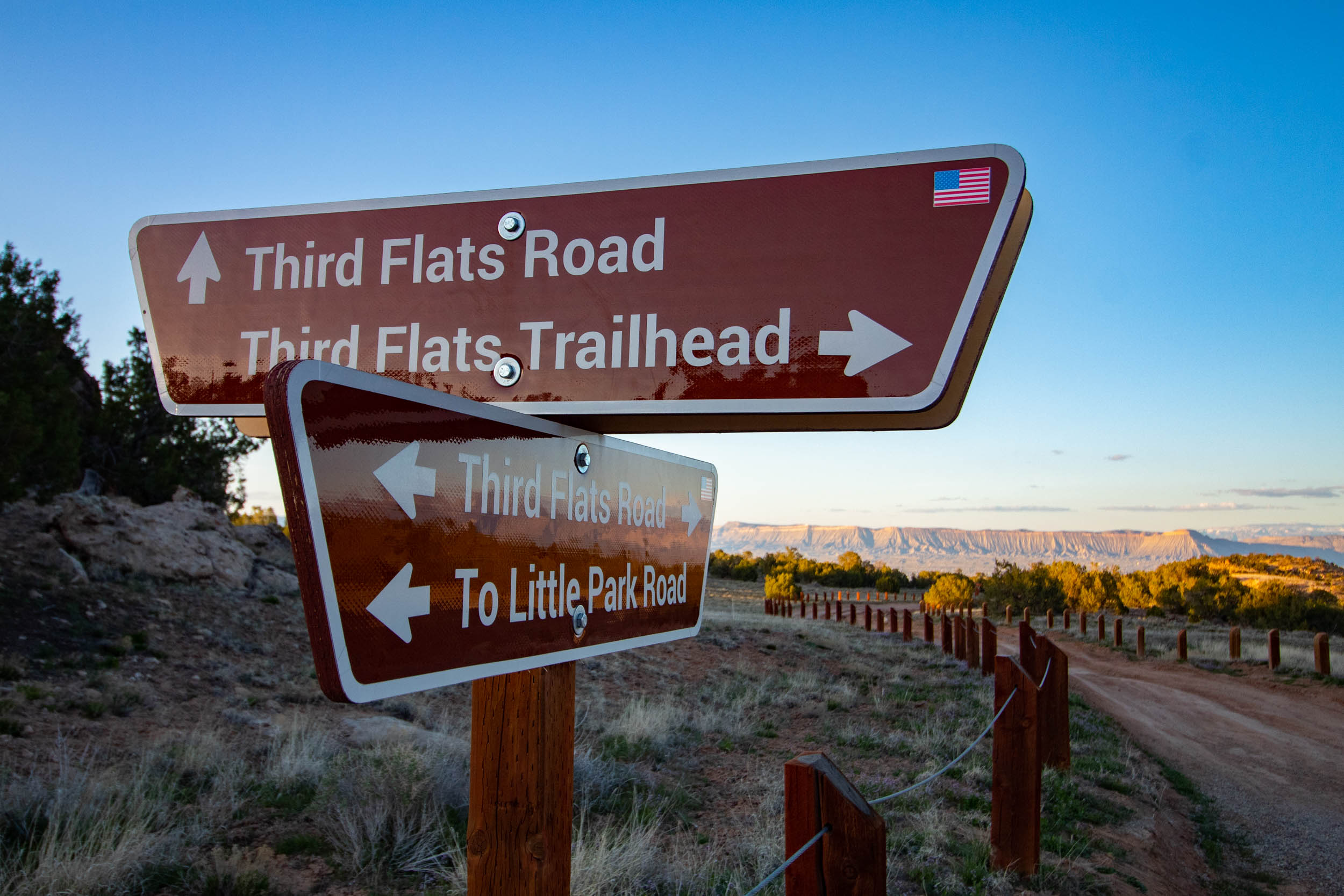
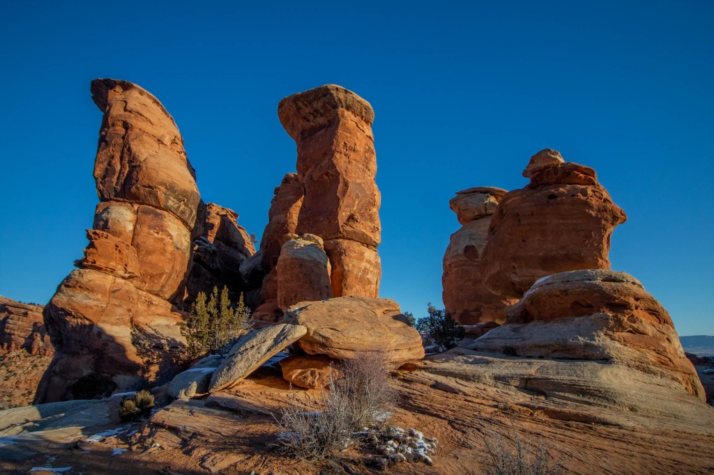
5. Lunch Line/Free Lunch
Last, but not least, there is the Lunch Line/Free Lunch trail. As part of the Ribbon, a mountain biking trail, it sits just outside the park’s boundaries, but the scenery is just as good. Located off of Little Park Road, the trail in question leads to the trailhead for the Free Lunch mountain biking trail.
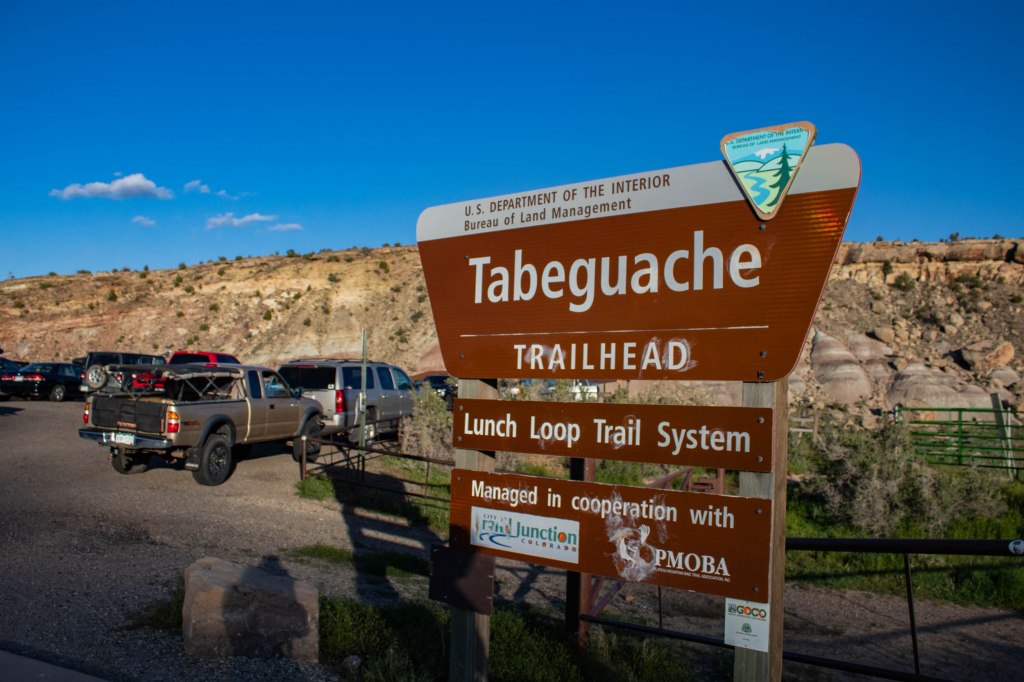
The beginning of the Lunch Loop trail system sits at Tabeguache trail, which also sits just before the Lunch Line/Free Lunch trailhead pulloff. (Makenna Livingston, April 26).
This area is slightly more trafficked, as it is free to access, and is mostly used for mountain biking, but the trail is a great option for a short, mild hike for those wanting to just get outside. This is another trail that is very accessible to those of all ages, and the trailhead at the road is only one mile from the Free Lunch trailhead.
The view at the top is what makes this short uphill climb worth the effort, though. At the top of the hike, there is a small rock formation that acts as a perfect picnic spot. The rock formation stands at about six to seven feet tall, so it is not hard or treacherous to climb to the top of it, and from the top there is a 360 degree view of the entire Grand Valley.
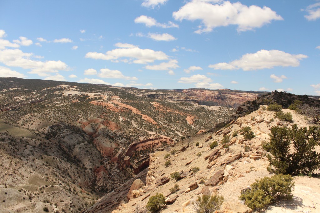
A glimpse of the view from the top of the rock at the end of the trail. Miles of terrain on the Monument itself and of the valley surrounding it can be seen from this location. (Collin McKenna, April 27).
These trails all sit roadside, so the trailheads are at an easy access point for any that wish to explore these trails and the areas surrounding them.
As a friendly reminder, always avoid stepping on topsoil when possible and watch for wildlife.
